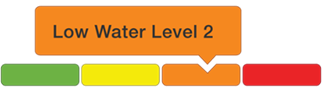
Low Water Advisory – Level 2 Condition
Message Number: 2026-03
Issued: October 9, 2026 at 4:00 PM EDT
From: NBMCA Duty Officer, Angela Mills
Low Water Advisory – Level 2 Condition indicates that the received rainfall and/or streamflow in gauged watercourses have continued to be below normal and have met the Ministry of Natural Resources (MNR) criteria for low water. The Ontario Low Water Response program uses a three-tiered advisory system to inform the public of local low water conditions where Level 1 is the least severe and Level 3 is the most severe. Level 2 is meant to indicate a potentially serious water supply problem. Further water use reductions are encouraged.
This is an update to Message number 2026-02 confirming Level 1 Conditions on August 20, 2026.
Current Conditions:
Recorded rainfall at the North Bay Airport climate station for July, August, and September was a total of 196 mm this year, which is 64.3% of the long-term average (1991-2020) of 305 mm. The total rainfall in September was 50.8 mm, which is just 44.6% of the long-term average (1991-2020) of 113.9 mm and meets criteria to declare Level 2 Low Water Conditions (Precipitation < 50% of normal for the current time of year).
The 31-day average streamflow at the Chippewa Creek gauge is 0.186 m3/s, 66.8% of its lowest average summer month flow of 0.283 m3/s and just 37% of the seasonal normal. This meets the streamflow criteria to declare Level 1 Low Water Conditions (Streamflow < 70% of lowest average summer month flow).
The 31-day average streamflow at the La Vase River gauge is currently 0.026 m3/s, 9.8% of its lowest average summer month flow of 0.275 m3/s, and just 5% of the seasonal normal. This meets the streamflow criteria to declare Level 3 Low Water Conditions (Streamflow < 30% of lowest average summer month flow). Flow in the La Vase River has met criteria for Level 2 or Level 3 conditions since early August.
The water level at the gauge on the Wasi River has been impacted by beaver works and is not representative of local conditions. Flow continues to decline and in removing these artificial values, it would be reporting a 31-day average streamflow of approximately 0.27 m3/s, 26.6% of lowest average summer month flow of 1.014 m3/s, and 16% of seasonal normal. This meets the streamflow criteria to declare a Level 3 Low Water Condition (streamflow < 30% lowest average summer month flow). Flow in the Wasi River has met criteria for Level 2 or Level 3 conditions since mid-July.
The 31-day average streamflow at the Mattawa River gauge is currently 3.188 m3/s, 47.8% of its lowest average summer month flow of 6.675 m3/s, and just 33% of the seasonal normal. This meets the streamflow criteria to declare Level 2 Low Water Conditions (Streamflow < 50% of lowest average summer month flow).
Current water levels can be viewed by searching Station Names “Ottawa River”, “Mattawa River”, “Chippewa Creek”, “La Vase River”, “Wasi River”, and “Lake Nipissing” at https://wateroffice.ec.gc.ca/search/real_time_e.html
Though there are no criteria for lake water levels in the Ontario Low Water Response program, water levels on Lake Nipissing are normal for this time of year, while water level on Turtle Lake, Trout Lake, and Lake Nosbonsing are below normal. The water level on Lake Nipissing is regulated by dams operated by the federal government. Current conditions are available at https://www.canada.ca/en/public-services-procurement/services/infrastructure-buildings/bridges-docks-dams/frenchriver-dam.html
Forecasted Conditions:
The 3-month seasonal forecast from Environment Canada indicates conditions for Fall 2026 are likely to be warmer and drier than normal. The 14-day forecast is projecting up to 25 mm of rain, cumulatively through October 20. For the 3-month precipitation to not meet the criteria for Level 2 low water conditions by the end of this month, October will need to record an additional 55 mm of rain, or an additional 119 mm more (115% of normal) to end low water conditions. It is likely that conditions will still meet the criteria for low-water conditions for the foreseeable future.
Historic Low Water Conditions:
This is the second confirmed Level 2 Low Water Condition in the North Bay-Mattawa watershed, with the previous Level 2 issued October to December 2025. Previous periods of low water where an advisory of Level 1 Low Water Conditions or higher have been issued include: September 2025 to January 2026, October 2024 to January 2025, June to August 2021, August 2018, and August 2012. There have not been any confirmed Level 3 Conditions in the North Bay-Mattawa watershed.
Risk:
Level 2 Low Water status indicates a potentially serious water supply problem, based on the precipitation and streamflow criteria established by the Ministry of Natural Resources (MNR).
Due to the lack of rainfall and low streamflow across the watershed, all residents are encouraged to voluntarily reduce their water consumption, targeting an overall water usage reduction of 20%.
The vulnerability of municipal water supply systems within the North Bay-Mattawa Conservation Authority (NBMCA) area of jurisdiction was assessed through a water budget stress assessment as part of the Drinking Water Source Protection program. All municipal water intakes within NBMCA jurisdiction were determined to have a low level of risk, however, having low water conditions leading into winter is potentially a concern. Private water systems were not assessed.
Low water levels mean that submerged hazards may be closer to the surface in some areas than in the past. Boaters are encouraged to exercise additional caution in areas with low water.
Staff at NBMCA will continue to monitor weather and watershed conditions and provide updates as conditions change.
This message will remain in effect until further notice.
The general public is advised of these messages through the www.nbmca.ca website with the low water status icon and a link to information about current conditions. NBMCA also circulates these messages to local media and social media, posting on Twitter (@theNBMCA), Instagram (nbmcainfo), and Facebook (theNBMCA).
Where a Conservation Authority has not been established, the MNR District Office is responsible for local Low Water Response programs. https://www.lioapplications.lrc.gov.on.ca/webapps/swmc/low-water-response/
Low water levels
The Low Water Response Program has three condition levels. The levels are based on trends in streamflow and rainfall.
LEVEL 1 CONDITION is the first indication of a potential water supply problem. A Water Response Team (WRT) may be convened. Voluntary water use reductions are encouraged, targeting an overall 10% reduction.
Level 1 is based on the following criteria:
- 18-month precipitation < 80% of average, or
- 3-month precipitation < 80% of average, or
- Monthly flow < 80% lowest average summer month flow, or
In Spring (i.e., April, May, June) only:
- Monthly flow < 100% lowest average summer month flow.
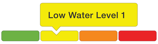
LEVEL 2 CONDITION indicates a potentially serious water supply problem. The WRT may contact individual water users and Permit To Take Water (PTTW) holders to encourage further water use reductions, targeting an overall 20% reduction.
Level 2 is based on the following criteria:
- 18-month precipitation < 60% of average, or
- 3-month precipitation < 60% of average, or
- 1-month precipitation < 60% of average, or
- 3 weeks with < 7.6mm rainfall, or
- Monthly flow < 50% lowest average summer month flow, or
In Spring (i.e., April, May, June) only:
- Monthly flow < 70% lowest average summer month flow.
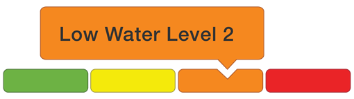
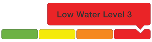
LEVEL 3 CONDITION indicates the failure of the water supply to meet the demand, resulting in progressively more severe and widespread socioeconomic effects. The WRT may ask the province to impose mandatory restrictions on those holding Permits to Take Water.
Level 3 is based on the following criteria:
- 18-month precipitation < 40% of average, or
- 3-month precipitation < 40% of average, or
- 1-month precipitation < 40% of average, or
- Monthly flow < 30% lowest average summer month flow, or
In Spring (i.e., April, May, June) only:
- Monthly flow < 50% lowest average summer month flow.
Current Conditions