A principal mandate of NBMCA is to prevent the loss of life and property due to flooding and erosion and to conserve and enhance natural resources. Ontario Regulation 41/24 is a key tool in fulfilling this mandate because it regulates development in areas where the control of flooding, erosion, dynamic beaches, pollution or the conservation of land may be affected by development.
NBMCA administers Ontario Regulation 41/24 - Prohibited Activities, Exemptions and Permits - pursuant to Section 28 of the Conservation Authorities Act.
If your property is within a regulated area, you may need a permit before you:
- place or excavate fill
- build a new home or cottage or replace an existing home or cottage
- construct a home addition, driveway, garage, shed, deck or pool
- build a shoreline breakwall,
- install a culvert
- landscape which includes filling, re-grading and adding hardscape or retaining walls
Regulated areas
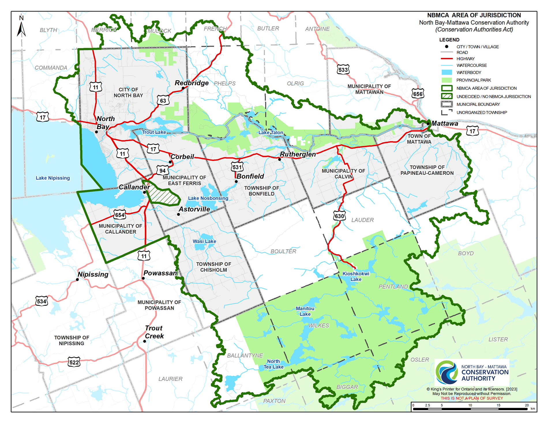
NBMCA regulates development and alterations in or on the areas within NBMCA’s jurisdiction (see map in sidebar) that are within a regulated area (see Map Your Property for a searchable map of NBMCA's Approximate Regulated Areas):
- adjacent or close to the shoreline of inland lakes that may be affected by flooding, erosion or dynamic beaches;
- river or stream valleys that have depressional features associated with a river or stream, whether or not they contain a watercourse;
- hazardous lands;
- wetlands;
- other areas where development could interfere with the hydrologic function of a wetland, including areas within 30 metres of all wetlands (all wetlands treated the same); or
- described as the “Regulation Limit” shown on a series of maps filed at the head office of the Authority. If there is a conflict between the description of areas described above and the areas as shown on the series of maps, the description of areas above prevails.
Pursuant to the Act, Section 28.1, NBMCA may grant permission to straighten, change, divert or interfere with the existing channel of a river, creek, stream or watercourse or to change or interfere with a wetland.
Permits
Section 28.1 (1) An authority may issue a permit to a person to engage in an activity specified in the permit that would otherwise be prohibited by section 28, if, in the opinion of the authority,
(a) the activity is not likely to affect the control of flooding, erosion, dynamic beaches or unstable soil or bedrock;
(b) the activity is not likely to create conditions or circumstances that, in the event of a natural hazard, might jeopardize the health or safety of persons or result in the damage or destruction of property; and
(c) any other requirements that may be prescribed by the regulations are met. 2017, c. 23, Sched. 4, s. 25; 2022, c. 21, Sched. 2, s. 9 (1)
Under the Conservation Authorities Act, development means:
- the construction, reconstruction, erection or placing of a building or structure of any kind,
- any change to a building or structure that would have the effect of altering the use or potential use of the building or structure,
- increasing the size of a building or structure or increasing the number of dwelling units in the building or structure,
- site grading, or
- the temporary or permanent placing, dumping or removal of any material (fill) originating on the site or elsewhere.
Municipalities are also required to consult with NBMCA and obtain a permit for any ditches, culverts or other municipal road work if it is being undertaken within NBMCA’s regulated area. Commercial and industrial development are also subject to the regulations and permitting process.
To find out if your property is within an area regulated by NBMCA contact the Regulations Officer at 705 474-5420 or email
Call us First. If you are considering a project that may require a permit, we strongly encourage you to first contact our office. This consultation will help to determine if you need a permit and the information required, such as plans and studies, that may be needed for us to assess your permit application. This could save you time and money. In order to submit an application, you must be the owner of the property listed on the application or complete a Landowner Authorization Form.
Complete Your Application (on sidebar). When you are ready to apply, you will need to submit a completed application for permit and the appropriate review fee (fee schedule on sidebar).
What you'll need
Landowner contact information.
Contact information for an agent, such as a contractor or consultant, if applicable.
Address of the proposed work.
A description of the project, including your site plan and all design drawings, studies and information required, signed and dated, as we cannot begin to process your submission until the application is complete.
The Review Process. Once NBMCA receives your completed application, staff review the plans, complete a site inspection and take the steps needed to make an informed decision. The review process may take 15-30 business days. NBMCA staff value working with applicants to find solutions that will balance your project needs and wants with the needs of the natural environment. If your application is denied, you can appeal it through a hearing process.
Fees Policy
The Conservation Authorities Act and the Ontario Building Code enable NBMCA to charge fees for services. The Fees are approved by the NBMCA Board of Directors. Our Fees Policy is based on three principles: user-pay, adequate consultation and notification, and right to appeal.
The fee structure for planning and compliance/regulation activities is designed to recover but not exceed the costs associated with the administration and delivery of the services within the program. These services include permit fees, applications under the Planning Act, various responses concerning legal services, public inquiries, and technical advice/services, etc.

Quick Links
Please note: If you are using a fillable application form, please download and save it to your computer to complete the form. (Do not complete it online.) Once completed, save it and email as an attachment to the NBMCA office.
- Section 28 Application (fillable)
- Section 28 Application (Non Fillable)
- Section 28 Letter Of Authorization
- 2026 Section 28 Fee Schedule
2025 Annual Report - Section 28
2024 Annual Report - Section 28
Contacts